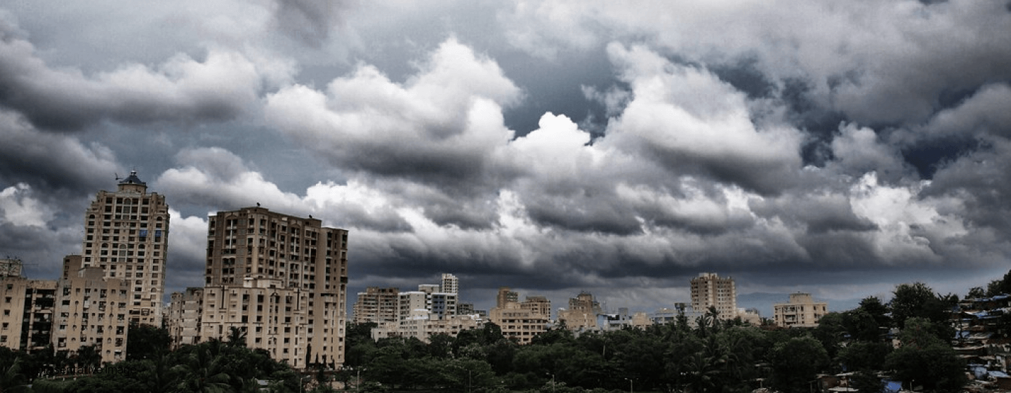
How are drones helping Mumbai prepare for the upcoming monsoons?
12 May 2021 | 03 min read
May 12, 2021: According to The Free Press Journal , the Central Railway (CR) is procuring 2 drones for monitoring purposes and 5 mechanized boats that shall be placed at railway stations to arrest the waterlogging issues that plague Mumbai each year. This decision is part of the backup plan of Mumbai Railways to rescue stranded passengers stuck on rail lines, trains, and platforms in case of serious waterlogging.
The railway authorities have decided to use drone technology to measure the extent of damage from waterlogging. Furthermore, the drones will be used to track activities at railway stations, mid-sections, ghats, and areas where accessibility becomes an issue during monsoon.
Last year, the CR deployed boats to rescue people trapped inside local trains at Masjid and Sandhurst Road stations. Also, drones were used on ghat sections in previous monsoons when trains were stuck on mid-sections.
The Western Railway (WR) too, as a pre-monsoon preparedness plan, has installed 10 automatic rain gauges (ARGs) in the suburban section Mumbai and plans to install 4 more in association with India Meteorological Department (IMD), an IndianExpress report stated. Apart from this, the WR wing will also deploy drones to monitor flood-prone areas.
According to a report by The Times of India, the WR first used drones in 2019 to examine vulnerable spots as the water clogged streets affected the movement of trains in previous years. The aerial images by drones allowed the authorities to identify the reasons for constraints to free-flow of storm water. The images also helped WR to gauge the water situation and decide if trains will operate or not. Leveraging drone technology proved to be of great help as manpower could not be deployed in water clogged areas.
WR focused mainly on the flood-prone areas like Borivali-Virar, Dadar, Grant Road, Prabhadevi, Matunga Road-Mahim, Andheri-Jogeshwari, Bandra- Khar, and Vasai-Virar.
The IMD has forecasted that India is likely to receive an average rainfall this year, the Science Wire stated. An average (or normal) rainfall, as defined by the IMD, ranges between 96% and 104% of a 50-year average of 88 cm for the entire 4 months monsoon season (June-September). It is expected that India, which is Asia’s third-largest economy, will witness higher farm and economic growth in 2021. This year, there are little chances that India will witness the El Nino and La Nina, the global climatic factors.
In the last two years, India recorded excess rainfall of 110 percent and 109 percent of Long Period Average (LPA) during the monsoons.
In 2019, the Tamil Nadu government used drones to ascertain the damage caused due to the rains and roll out relief and restoration measures.A Times of India report stated that the government issued a circular, where it stated that drones should be readily available in times of need. When there is massive damage, drones should be deployed immediately for date and geo-tagging while capturing images. These images will show the extent of damage to the authorities so that the right type of interventions and mobilisation of support could be arranged easily.
Similarly, drones were used to tackle relief operations in north Kerala (Kannur, Kozhikode, Malappuram, Wayanad), which was severely hit by floods and landslides in 2019. Sky Limit, a Whatsapp group of drone operators, contacted the Kerala State Disaster Management Authority to express their desire to volunteer. Drones were used to examine the seriousness of the situation and locate stranded people. It is reported by The Hindu that DJI Inspire 2 drone was used to air-drop materials. Now, the government officials and local self-government institutions depend on drone visuals to understand the extent of damage to the topography.